The goal is to assess areas that would be affected by the project in Squamish. Especially since there is not enough information about the effects, it is recommended that the project should prevent adverse/significant effects on potentially sensitive areas (e.g. animal habitats) found within the project boundary.
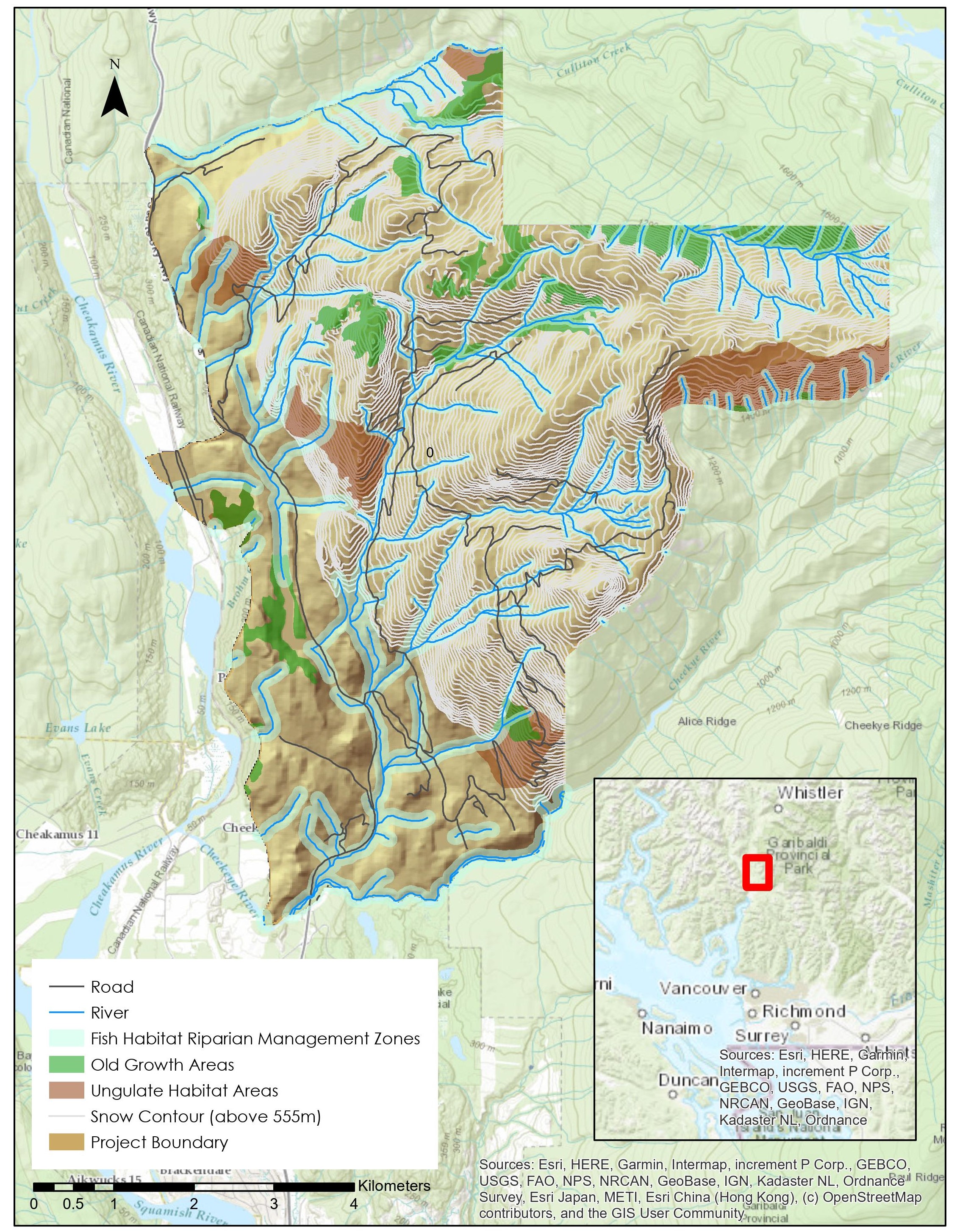
Figure 1 shows the areas that need to be protected which are: ungulate habitats (i.e. mammals like deer and mountain goats), rivers and streams with 100m buffer zones (important for fish habitat), and old growth forests. The data was collected from DataBC and UBC Geography.
Garibaldi Ski Resort Project - Map 1
(UTM Zone 10)

Also, there has been a concern about whether or not the elevation is appropriate for skiing. Elevations under 555m are deemed unreliable for the activity as snow may not be abundant/guaranteed in those areas. Figure 2 shows the snow contour lines at and above 555m, along with other areas of interest laid out in Figure 1.
Garibaldi Ski Resort Project - Map 2
(UTM Zone 10)
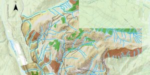
The 3D representation of the project boundary and the snow contour help visualize how much of the protected areas are found in zones where the project might occur. Assuming that the project takes place only within the snow contour, much of the ecologically sensitive areas would still be affected. The proponent must also consider the riparian management zones downstream as they connect to the ones found in elevations suitable for the project.
An error I made was that I did not include a snow line in the first map. This line would have made it clear which areas would most likely be affected even if it is not in 3D. Overall, I still learned how crucially important GIS is (and how it is presented) in Environmental Impact Assessments.